...
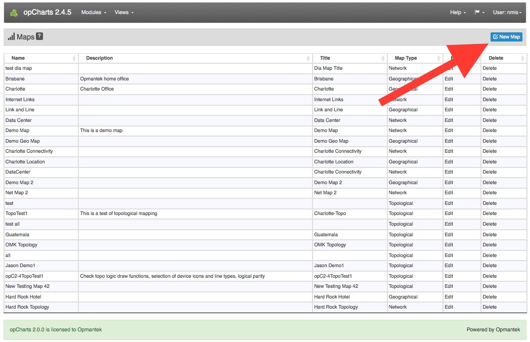
1. A Geographical Map must be created before it can be used or added to a Dashboard. To create a new Map, Click the New Map from the Maps screen (Views -> Maps).
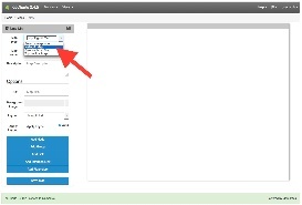
2. Next, select Geographical Map from the Map Type drop-down located in the top-left corner.
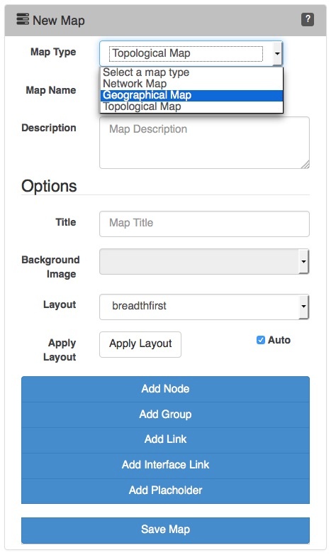
3. Assign your Geographical Map a Map Name - This must be unique; no 2 maps can have the same Map Name. Map names should also not include spaces or special characters.
4. You can also provide a Description of your Map. This will be displayed on the Maps View page, and also when adding a Map to a Dashboard.
...
If set, the Link to Map option will open a new Dashboard rather than opening the Node detail window when the icon is clicked. This is especially powerful - allowing you to drill down from a top-level abstract diagram to more in-depth levels of detail.


Once the node is added it may be moved around the Map by left-clicking and dragging it to position.
...
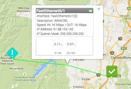
The Add Interface Link button allows you to add an interactive Link representing a interface's flow between 2 Node or Group icons. Select your Link Source, the Node providing the Interface, the specific Interface that handles the link, and the Link Destination. The resulting link will be anchored to the 2 Nodes/Groups. Clicking on the Interface Link will open a pop-up with the inbound and outbound link speeds as a percentage of the available interface speed.

The path the link follows can be edited by dragging the white dot marker on the line. Each time you drag a marker the line will subdivide into 2 additional sections with an additional marker being added. This allows you to create links that very accurately follow the path of roads or utility lines.
...
Nodes on the Geographical Map can be moved and the map re-centered (as well as zoomed in/out) but the nodes cannot be edited or deleted.
Locating and Centering the Map
...